
Ashland Neighbor Record Sources
A block lookup needs a clear definition of nearby. Side-adjacent, rear-adjacent, corner-touching, and across-street parcels are not the same relationship. Draw those groups first. Then use the official source that answers the actual question.
| Source | What It Shows About a Block | Access |
|---|---|---|
| Boyd GIS map | Parcel and road geography around a starting point | Public ArcGIS context map |
| Boyd PVA roll | Tax owner, situs, mailing address, parcel facts, assessment year | qPublic route or PVA office |
| Boyd County Clerk | Deeds, plats, easements, liens, and legal descriptions | Paid portal, Ashland branch, or main office |
| Permit and code offices | Address-linked permit, inspection, or abatement files | Department contact or focused request |
| Winder Room | Old directories, Sanborn blocks, yearbooks, photos, and local indexes | Library research request |
The PVA identifies an owner for tax purposes as of January 1. The situs is the parcel location; the mailing address may belong elsewhere. Neither field establishes that an owner occupies the home. Ashland neighbors should be described only to the level each dated record supports.
Define Nearby Ashland Parcels
Begin with one target parcel. Side neighbors share a boundary. Rear neighbors touch behind it. A corner parcel may meet at one point, and an across-street parcel has no shared property line. Save the parcel ID for each one rather than relying on a map label or house number.
This worksheet prevents radius creep. A person asking about the immediate block may mean only adjoining land, while a broader civic study may include both street faces and the next intersection. State the rule before gathering names. That makes the result repeatable and reduces accidental collection of unrelated households.
Note: Parcel adjacency is a map relationship, not proof that the listed owners know one another or live on the land.
Map an Ashland Block
The Boyd County GIS public map supplies geographic context. Metadata identifies older 2018 map data, so it is not a substitute for current assessment or title evidence. Use the geometry to collect parcel IDs, then verify each record separately.
- Locate the exact street address and confirm the center parcel.
- Mark side, rear, corner, and across-street parcels in separate groups.
- Save each parcel identifier and visible road context.
- Open the Boyd PVA route for each parcel and note the assessment year.
- Use the Clerk when a deed, easement, plat, or legal boundary matters.
The full named-road process belongs in the Ashland street directory. The neighbors method stops at the defined block.
Check Ashland Owners Carefully
The Boyd PVA assesses property as of January 1. If a deed transfers later, the tax bill may retain the prior owner until the next year. Compare the assessment year with deed execution and recording dates before calling any name current. A mailing address can differ from the situs because an owner lives elsewhere, uses a representative, or holds several parcels.
Important relationships should be checked through the Boyd County Clerk records route. Its portal requires login and paid access, and its exact online start year was not verified. The Ashland branch at 1505 Carter Avenue can help with a narrow instrument, book/page, parcel, party, or date request.
- Parcel
- A mapped unit of land with its own identifier.
- Situs
- The physical location of the parcel.
- Mailing address
- The destination for tax correspondence, which may differ from the property.
- Plat
- A recorded drawing of lots, boundaries, streets, or easements.
Ashland Block Permit Records
Permit and code files can explain visible change on a block. The research found no unified public Ashland permit-case index. Use Boyd construction and inspection contacts and Boyd County Code Enforcement to identify the right custodian. State the address, parcel, file type, and date range.
The county's construction contacts show the fallback when no search portal exists.
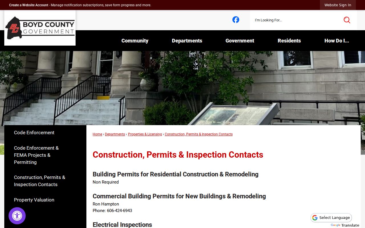
The contact list routes a defined address question without suggesting that permit records name every resident.
Boyd County's code-enforcement page identifies another address-record custodian.
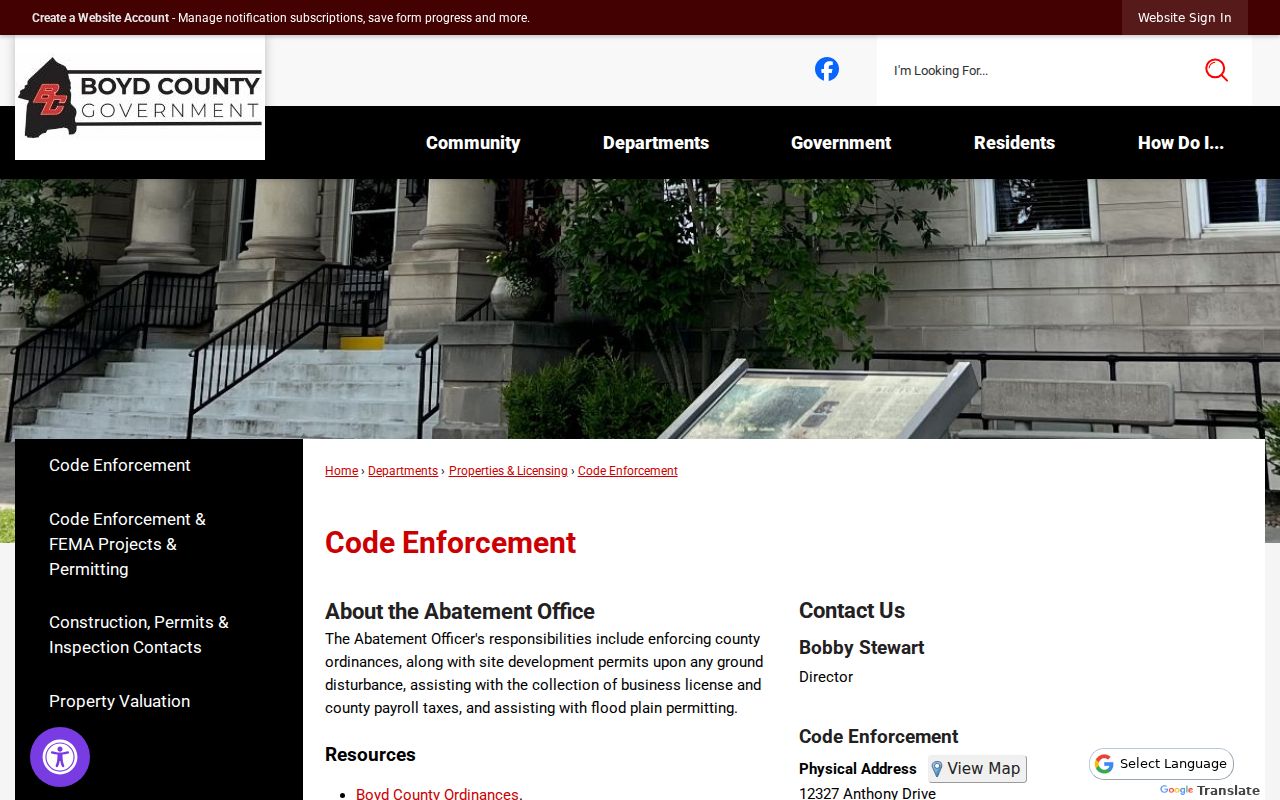
A code file may document a condition or official action at an address. It does not establish household membership.
Ashland Community Directory Gap
No verified official umbrella directory of Ashland neighborhood associations was found. Inventing an association or publishing an unverified roster would mislead readers. The practical fallback is City Planning and Zoning, public meeting notices, county department contacts, and a focused open-record request for a named civic matter.
City Planning and Zoning
Planning, zoning, site plans, and variance leads can identify official block-level files.
Boyd County Records
County open-record requests provide a custodian route when no public index exists.
The county request page shows how to send a specific records inquiry.
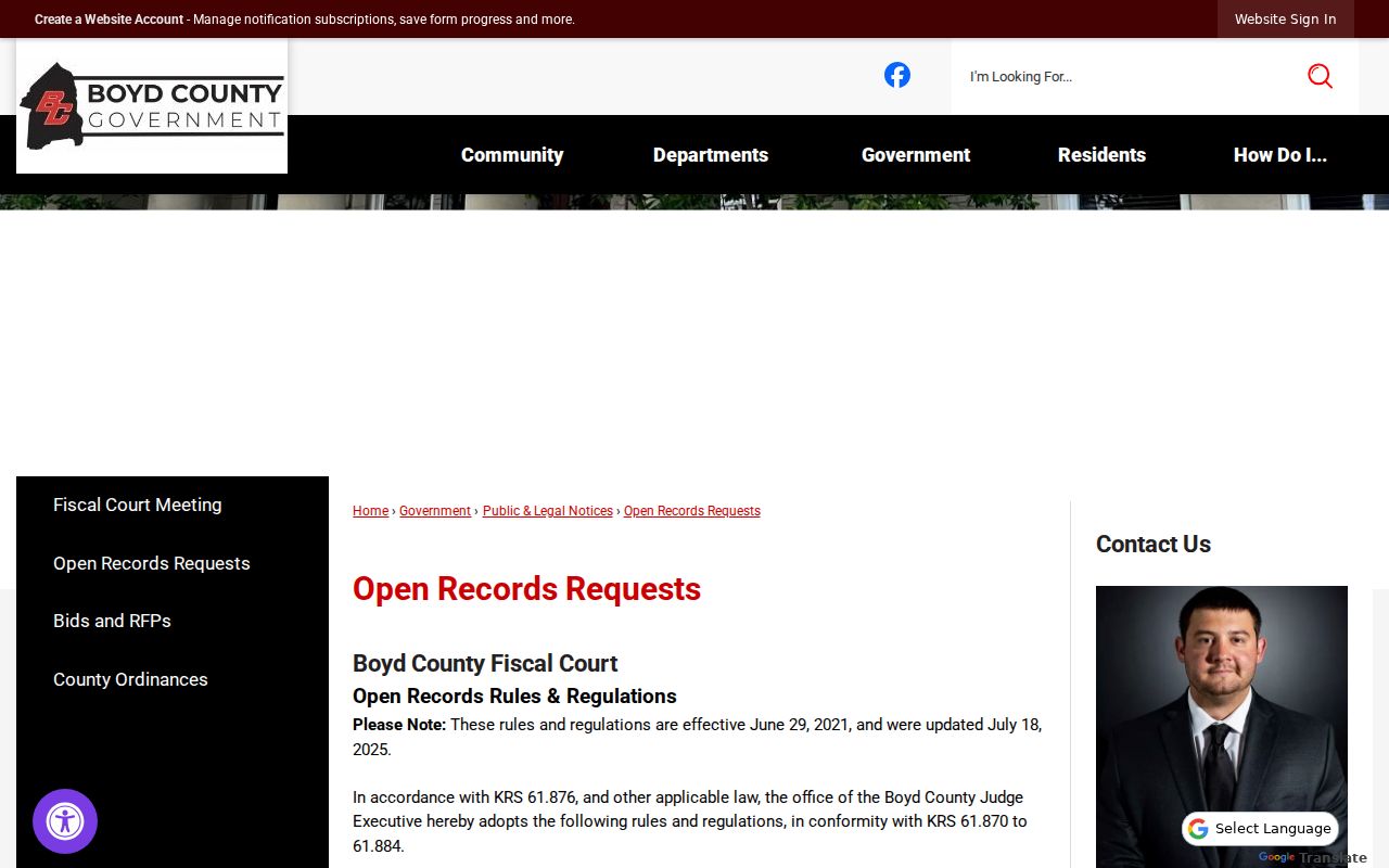
A request works best with one address, record class, responsible department, and short date range.
Ashland Neighbor Voter Limits
The public Kentucky Voter Information Center is an individual status tool. It requires legal first name, last name, and date of birth, with an optional last four digits of a Social Security number. It does not display everyone registered on an Ashland block. Do not use nearby names to guess a protected person's record.
Bulk voter information follows the SBE-84 request process and 31 KAR 3:010. The form asks for requester eligibility, geography, group, format, inactive-record choices, and an oath with a no-commercial-use condition. A household ZIP label may be available in an approved extract, but ZIP data does not define adjacency. Only qualified requesters should use that route, and the stated lawful purpose controls the use.
For historic block context, public census schedules and dated city directories are a better fit. They preserve the record as it existed in a particular year. Keep an old household snapshot apart from any claim about present Ashland neighbors.
Note: A blank public voter search can reflect missing inputs, eligibility, or protection and should never prompt reverse-engineering from the block.
Read Historic Ashland Neighbors
The Winder Room lists city directories and Sanborn maps. Verified directory leads include an 1897 Ashland and Catlettsburg general directory plus merchant directories from 1902 and 1907. A full reverse-directory run was not confirmed, so ask library staff for address-to-name or criss-cross volumes by year.
Sanborn sheets show a different layer: structures, blocks, street widths, water mains, alarms, and hydrants. Directories show printed name-and-address links, deeds show legal transfers, and PVA records show assessment ownership. Comparing these sources can reveal how a block changed, but none forms a complete list of past or current occupants.
Ashland's river, rail, and industrial growth also shaped merchant and street evidence. A business entry may explain a historic corridor without proving where its owner lived. Keep business and home facts in separate fields.
Official Ashland Neighbor Records
Commercial neighbor tools often merge stale mailing addresses and same-name people. Official sources are narrower, but their custody, date, and record purpose are visible. For a block study, that limited evidence is safer than a broad unsourced profile.
| Question | Official record | Commercial category |
|---|---|---|
| Where is the parcel? | GIS and PVA, with date caveats | May reuse an old map or address |
| Who holds recorded title? | Clerk deed and legal description | May merge names or omit transfers |
| Who lives there now? | No single official block roll proves it | May infer from stale secondary data |
Ask the custodian to correct an official error. A third-party change does not amend a deed, parcel roll, or court record.
Protect Ashland Neighbors' Privacy
Kentucky Safe at Home provides address substitution, mail forwarding, and vote-by-mail support for eligible participants. It is not a universal erasure of deeds, and real-estate holdings can be an exception. Never try to reverse-engineer a protected address from old scans, nearby parcels, voter data, or neighbor names.
Kentucky's Safe at Home page explains the protection program.
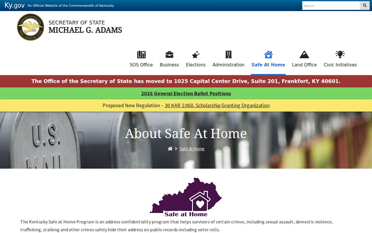
The program is a signal to stop inference and use the lawful agency route.
Lawful use. Look up Ashland neighbors for civic curiosity, reconnection, or personal safety awareness. Never watch, intimidate, harass, or expose anyone.