
Walk an Ashland Street Record
No official roll lists every person living along an Ashland street. The Boyd County Property Valuation Administrator, or PVA, links an address to a parcel and the owner named for tax purposes. The Boyd County Clerk supplies the recorded title trail. The county map supplies geographic context, while voter data and historical directories have different rules and dates. A sound street-by-street search keeps each claim within the source that made it.
- Normalize the street number, direction, suffix, and unit. Keep any old spelling or number as a separate variant.
- Search the Boyd PVA property portal, or ask the office for a parcel card when the site will not load.
- Compare the road and nearby lots in the county GIS map, then confirm each parcel ID with the PVA.
- Move the owner name and legal description into the Clerk's land-record route. Search both grantor and grantee roles.
- For a past household, ask the Winder Room for a dated city or reverse directory and match it to a deed, newspaper, or census source.
The path is address to parcel, parcel to owner, owner to deed, then dated household evidence. Kentucky's individual voter lookup requires a legal name and date of birth, so it cannot be browsed as a public street list. Restricted voter extracts also are not a general street directory.
Ashland Street Directory Parcel Fields
The Boyd County PVA advertises owner and property search and explains that assessment ownership is fixed as of January 1. A sale after that date can leave the prior owner on the tax bill until the next tax year. The live qPublic controls were blocked during research, so field labels below describe documented PVA artifacts, not a claimed screen capture.
| PVA field or item | Form | Street-directory use |
|---|---|---|
| Owner name | Advertised name search | Find tax-roll ownership and test spelling variants. |
| Situs address | Advertised address search | Locate the physical parcel while preserving suffixes and units. |
| Parcel or property ID | Record identifier | Carry one stable key into map, tax, deed, and request work. |
| Assessment year | Record date | Explain why a recent transfer may not yet appear. |
| Mailing address | Tax correspondence field | Keep it distinct from the physical site and occupancy. |
| Photo, sketch, map | Parcel material | Compare lot and building evidence without claiming residence. |
The PVA information page says parcel material may include characteristics, maps, photos, and sketches. Those items describe assessed property. They do not turn an owner or mail recipient into a confirmed resident.
The Boyd PVA office page is shown below as the source for the property-search handoff.
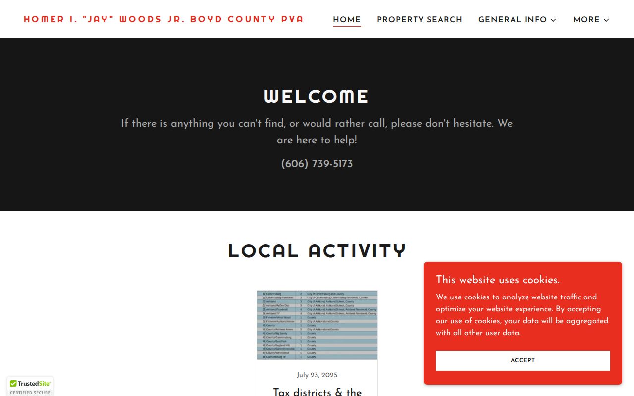
This screen identifies the assessment office route that supports a street directory search when the separate parcel interface is unavailable.
The companion Boyd PVA property information page explains how assessment ownership, parcel material, maps, photos, and sketches fit the county tax roll.
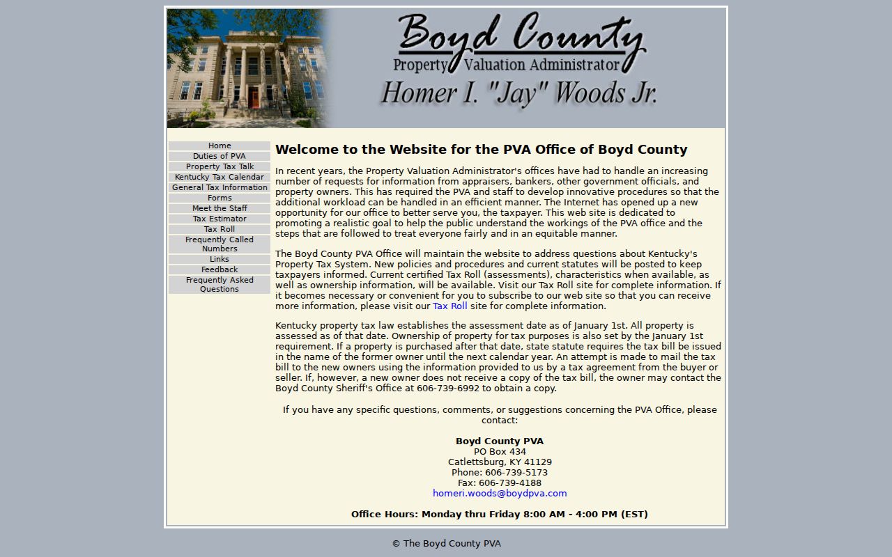
That source supports the field categories above without implying that every parcel displays each item or that an assessed owner occupies the site.
Read Ashland Address Terms
Small wording differences prevent large errors in an Ashland street directory. A deed, tax card, map, and old directory can use different labels for the same place. Define each one before joining records.
- Parcel
- A mapped tract used for assessment and land identification.
- Situs address
- The physical location of the parcel, distinct from where tax mail is sent.
- Plat
- A recorded drawing that shows lots, boundaries, roads, or a subdivision.
- Criss-cross directory
- A directory arranged by street and house number rather than only by surname.
A legal description is stronger than a street label when names or numbers change. Keep book/page and parcel references with the address at every step.
Ashland Records Indexed by Address
Each address source answers one part of the Ashland street directory question. Access includes portals, office requests, library research, and postal lookup. When an online tool fails, the office or collection remains the fallback.
| Record Set | Keeper | What It Shows | Access |
|---|---|---|---|
| Assessment roll | Boyd PVA | Tax owner, situs, mailing, parcel facts | qPublic or PVA office |
| County map | Boyd County GIS | Road, ZIP layer, nearby geometry | Free public map; older data |
| Land records | Boyd County Clerk | Deeds, liens, plats, legal descriptions | Paid portal or office books |
| City files | City Clerk and Planning/Zoning | Permit, variance, street-closing, code leads | Narrow KORA request |
| Historical address | Winder Room and KHS | Directory names, Sanborn house and block numbers | Library, archive, or partial digital access |
A parcel number ties the assessment to deed and request work. A street label ties the map to city files and old directories. Neither key proves current occupancy. For an exact postal form, use USPS only after the property and historical variants have been saved.
Map Ashland Streets With Boyd GIS
The County of Boyd GIS map can orient a search around roads, intersections, ZIP context, and nearby polygons. Its item metadata identifies older 2018 public map data. Treat it as geography, not current title proof, and confirm the parcel through PVA.
The useful controls are map extent, the layer list, and any exposed parcel feature. ESN and ZIP layers were observed in metadata. State roads, cities, county lines, rail, and water features can also explain where a street sits. If a parcel layer is absent, the map can still help phrase a precise PVA or Clerk request.
Note: Boyd GIS supplies context for Ashland streets, while the PVA and Clerk remain the sources for assessment and recorded ownership.
Follow an Ashland Deed Chain
The Boyd County Clerk online-records page hands searches to Courthouse Computer Systems. The portal requires an account or subscription, warns against automated access, and does not expose its grantor, grantee, date, or document controls before login. No official online start year was found. Older links may require office books and indexes.
Begin with the PVA owner, then search that name as grantee to find the deed received. Read the prior grantor, legal description, book/page, and instrument date. Repeat backward. Search both roles because a grantor-only query misses receipt of title. Estate names, spouses, businesses, corrections, releases, and liens can supply more links, but the legal description must still match.
The Boyd land-record portal is shown here at its access gate.
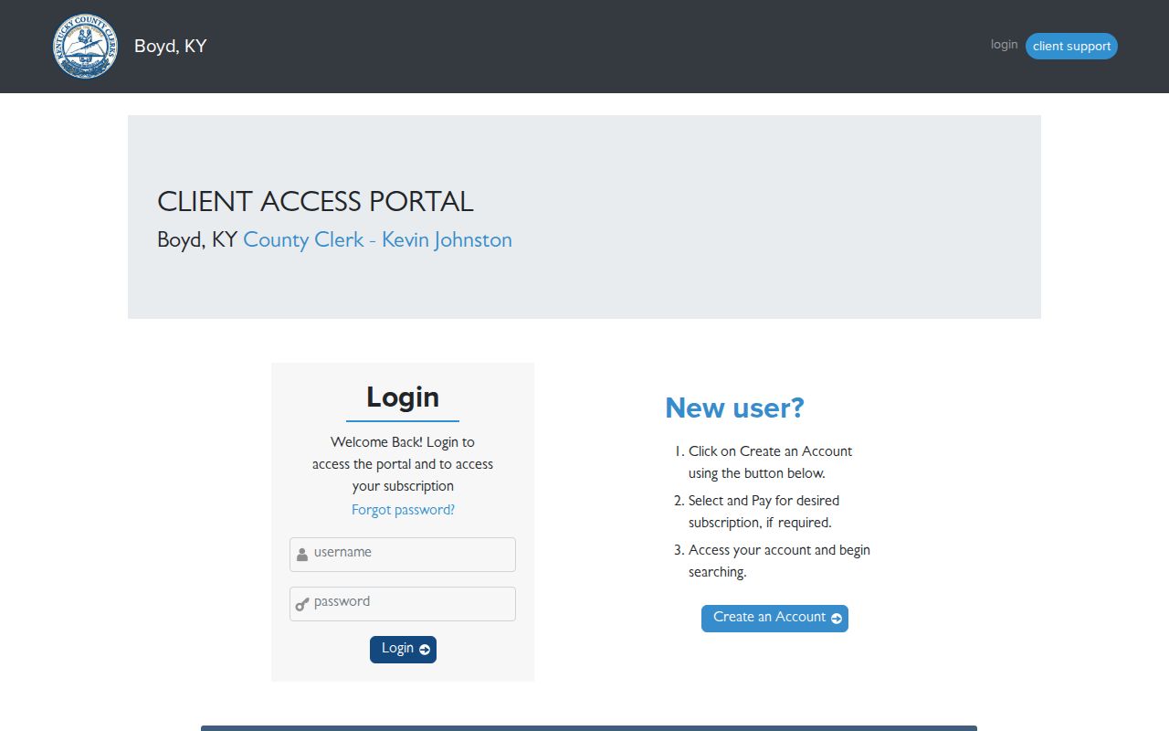
The screenshot shows why the Ashland street directory must offer the Clerk counter as well as an online route. A book/page, parcel ID, or tight date span makes that office request useful.
The Clerk's official records handoff is also captured below.
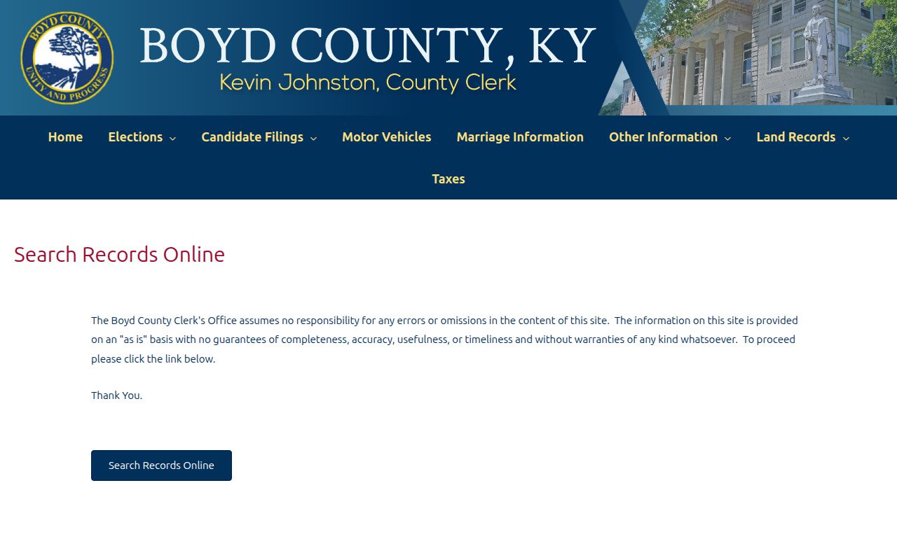
This page confirms the official custodian route even when the third-party system requires payment or an account.
Ashland Street Planning Records
Planning and code files can explain an address change without naming every resident. Ashland functions include subdivision and site plans, zoning changes, street closings, conditional uses, variances, permits, and property-maintenance work. No public address index was found, so use the City open-records form with an exact address, record class, and date range.
The Ashland Planning and Zoning page identifies the municipal route.
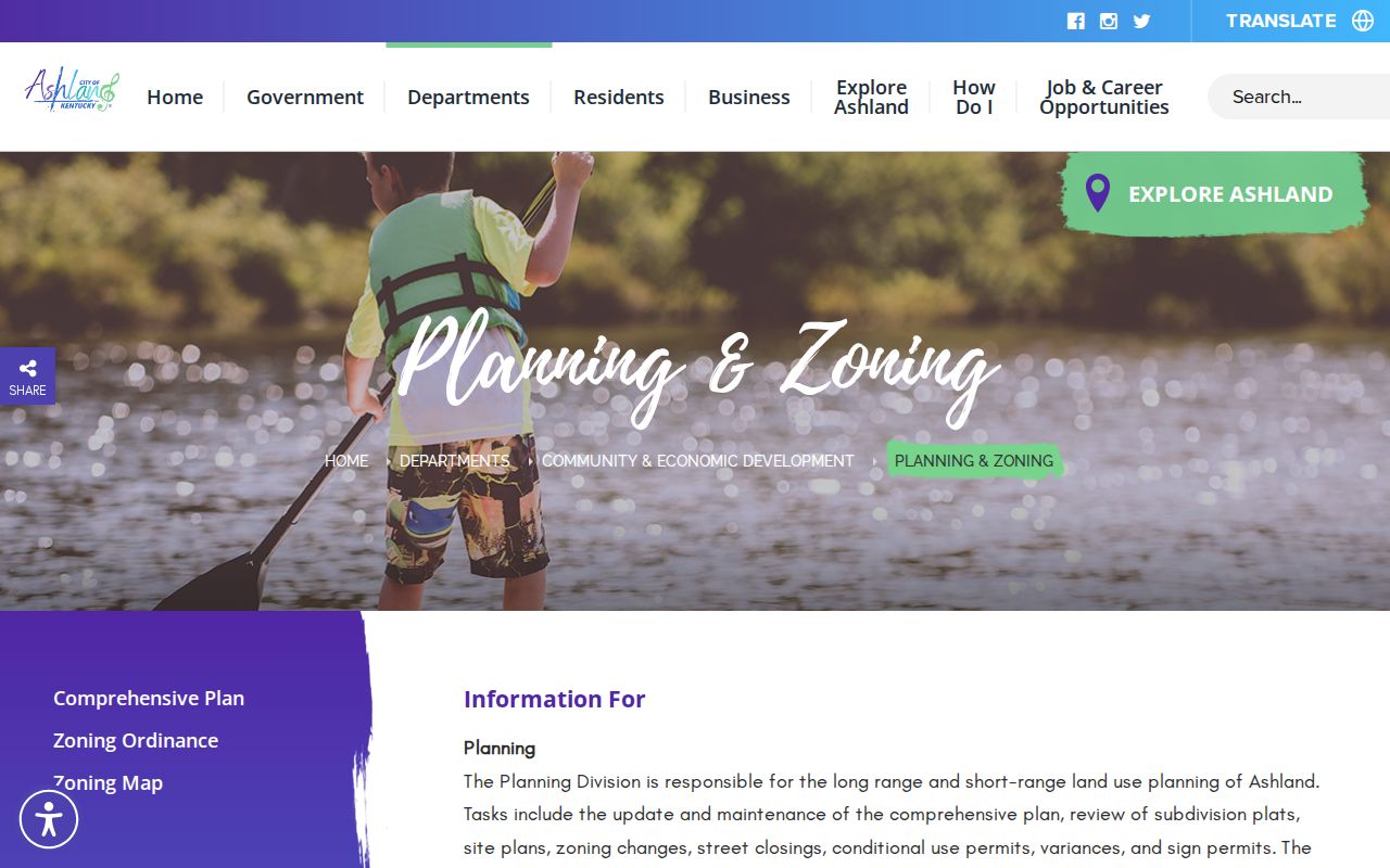
The department view connects a street search to site plans, zoning actions, and other address-based files that may not appear in a property portal.
Ask to inspect first if copies are not needed. The city form also supports pickup or mail. KORA reaches existing nonexempt records in agency custody; it does not require staff to create a custom resident list.
Ashland Streets on Sanborn Maps
The Winder Room lists Sanborn Fire Insurance Maps spanning 1867 through 1970, with specific Ashland leads for 1886 and 1890. These maps can show street names and widths, building size and materials, house and block numbers, water mains, alarms, and hydrants. That detail can reconcile an old directory address with a modern block.
Sanborn evidence describes structures and place. Deeds describe recorded transfers. PVA records describe assessment ownership, while directories associate names with addresses at a date. The sources complement one another, but none should be rewritten as another. The historical shelf itself is covered more fully in the Ashland city directory collections.
Note: No verified official Ashland street-renumbering timeline or online reverse-directory run was located, so preserve every observed address variant.
Validate Ashland Street Postal Form
USPS references associate Ashland with 41101, 41102, and 41105, but a ZIP is delivery geography rather than a city boundary or parcel identifier. Run the exact address through the USPS ZIP Code Lookup after normalizing the street. Keep any preferred city label, ZIP, and ZIP+4 as postal facts only.
The county map contains a wider group of ZIP values because it covers Boyd County, not just Ashland. A ZIP mismatch can be a routing issue rather than proof that an address lies outside the city. Use city records for municipal custody and the PVA or Clerk for property authority.
Limits of Ashland Street Records
A street directory cannot supply a complete, current household list. PVA records show tax ownership, not occupancy. Mailing addresses can belong to an owner, lender, representative, or prior owner. GIS is map context. A directory is dated historical evidence, and a voter-status tool is an individual service with required identity fields. Driver and vehicle information follows separate federal and Kentucky limits.
Safe at Home can substitute an address in many public-facing systems for eligible participants. Real-estate records have statutory exceptions, but a researcher should never use older scans, adjacent parcels, or voter material to defeat a protected address. Correct errors with the office that created the source.
Lawful use. Use Ashland address records only for lawful personal research. Never use an address trail to stalk, harass, intimidate, or expose a protected person.
A careful result says what the record associates with the address and gives the record date. It does not turn a tax owner, mailing addressee, licensee, or map label into a claim that someone lives there now.