
Ashland ZIP Directory Coverage
Official references associate Ashland with three postal labels: 41101, 41102, and 41105. They are useful starting points, not a complete street-by-street map. The research did not run a USPS result for every local address, so each address still needs its own check. The county map also displays ZIP values from beyond Ashland. Those broader values describe Boyd County geography and should not be relabeled as Ashland neighborhoods.
| ZIP Code | Areas Covered | Post Office | Notes |
|---|---|---|---|
| 41101 | City-associated Ashland addresses | Ashland Post Office, 1140 Carter Avenue | Validate each street address with USPS |
| 41102 | City-associated Ashland and Boyd County addresses | Confirm by exact address | Postal coverage is not the city boundary |
| 41105 | City-associated Ashland postal references | Confirm the delivery mode with USPS | Do not treat the label as a neighborhood |
The Ashland Post Office address is an administrative anchor, not proof about anyone who uses the same ZIP. A city-only USPS result lists postal combinations. It does not draw municipal limits. The Ashland ZIP code directory therefore keeps postal, county, parcel, and city facts in separate columns until an exact address ties them together.
Validate Ashland Postal Records
Use the USPS ZIP Code Lookup guidance before searching a public roll. Enter the whole address, including unit, directional, and street suffix. Save the preferred city, state, five-digit code, and ZIP+4 if USPS returns one. If more than one match appears, keep every option until the unit or suffix is resolved.
The USPS City State product is a monthly reference file for ZIP, city, and county relationships. It is better suited to normalization than identity work. A live address result carries more weight for one street. Neither product names an occupant. That distinction is the core safeguard in a useful Ashland ZIP code directory.
This USPS lookup screen illustrates the postal starting point.
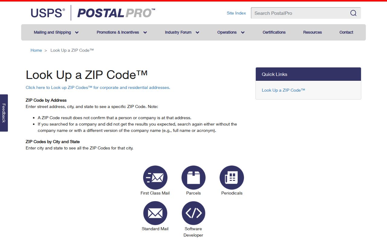
The screen belongs at the start of the workflow because postal validation comes before any property or resident inference.
The captured USPS City State product page shows the separate reference route used to check ZIP, city, and county relationships.
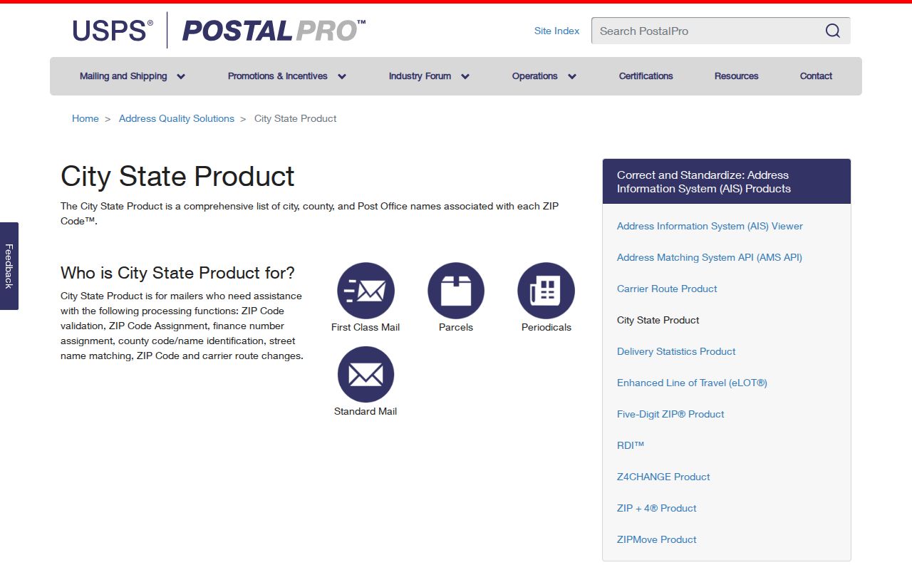
It helps normalize postal geography, but it still cannot identify a resident or settle an Ashland municipal boundary.
Map Ashland ZIP Records
The Boyd County GIS public map places ZIP geography beside roads and other county layers. Its item metadata identifies older 2018 map data. Use the layer to see regional context, then return to USPS for the mailing code and the PVA for the parcel. The map is not current title evidence.
Countywide labels such as 41121 or 41129 may appear in the GIS layer. Their presence does not make them Ashland ZIPs. Ashland is the target city, while Catlettsburg is the Boyd County seat, and the county map naturally reaches beyond the city. This geographic split is why a ZIP-only search can send a records request to the wrong office.
Kentucky's GIS clearinghouse shows the wider mapping context.
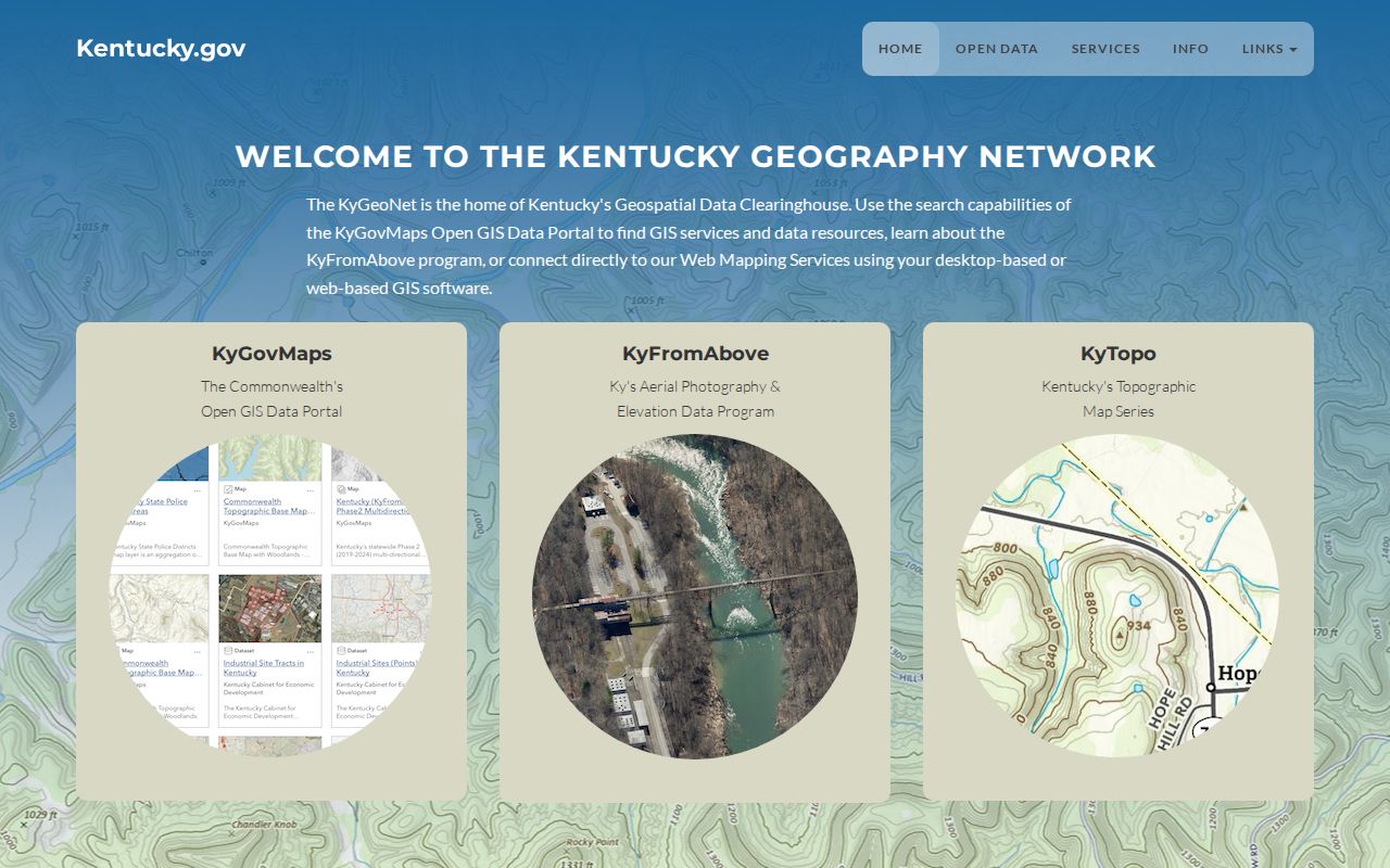
The clearinghouse supports map discovery and metadata checks, while the named custodian remains the source for each official record.
Find Ashland Residents by ZIP
A ZIP narrows the field, but the source still decides what a result means. The Boyd PVA ties a street address to an assessment parcel and the owner shown for tax purposes as of January 1. A license search may show a contact or premises address. Qualified voter data may include a household ZIP. None of those facts alone proves current residence.
- Confirm the exact address and postal code through USPS. Keep the returned wording.
- Compare the ZIP with the county GIS layer for area context, not ownership.
- Search the Boyd PVA qPublic route by address and save the parcel identifier and assessment year.
- Use a lawful ZIP filter in the record system that fits the question, then verify the result with the custodian.
When the task shifts from a postal area to a named road, the Ashland street directory supplies the street-level method. That handoff avoids turning a broad ZIP into a false block directory.
Ashland ZIP Search Fields
Several official systems accept postal data, but they return different record types. Use the Ashland ZIP code directory as a routing table. The qPublic interface was blocked during research, so no unseen ZIP control is claimed for it.
| Official route | Postal field or mode | What it narrows | Key limit |
|---|---|---|---|
| USPS live lookup | Address, city, state, ZIP | Preferred mailing label | No residents or parcels |
| Boyd GIS | ZIP layer | Countywide map context | Older public map data |
| DPL license verification | City, state, ZIP | Individual or business license rows | Address may not be a residence |
| ABC license lookup | Premises city, county, ZIP | Licensed premises | Business site only |
| SBE-84 voter request | Household ZIP or ZIP-sorted output | Approved voter-data extract | Qualified requesters and oath |
The Kentucky license search and Kentucky ABC premises lookup can filter by ZIP. A license location describes the regulated record, not a private household.
The ABC lookup shows how premises geography can be narrowed.
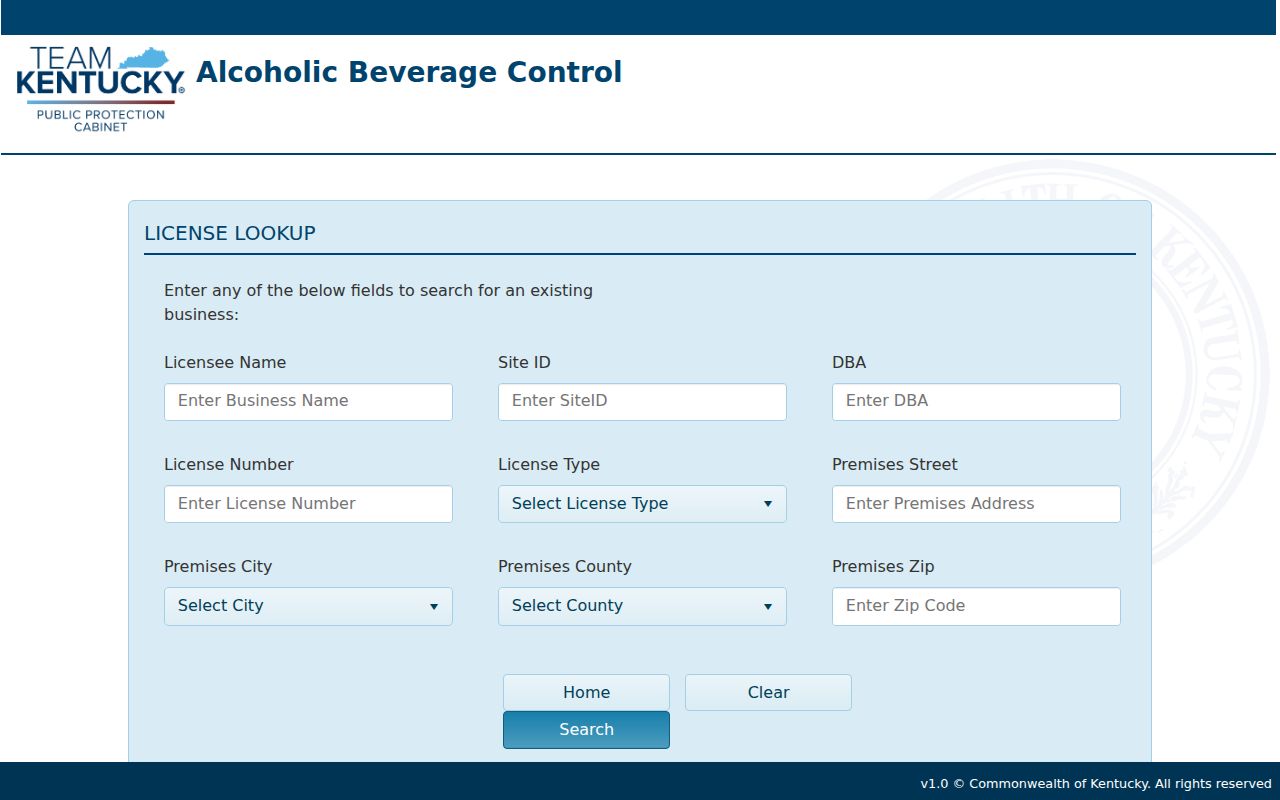
The displayed ZIP field should be read as a premises filter and never as proof that a license holder lives there.
Ashland Voter ZIP Limits
The public Kentucky Voter Information Center looks up one voter with legal first name, last name, date of birth, and an optional last four digits of a Social Security number. It is not an open ZIP roster. ZIP-sorted or household-label voter output instead runs through the SBE-84 process.
SBE-84 asks for geography, group, format, inactive-record choices, and an oath. Access is limited to qualified requesters and carries a no-commercial-use condition. A reader who does not qualify should not try to reconstruct the same list from scattered records. Contact the State Board of Elections about lawful eligibility and current formats.
Privacy limit. A ZIP is a delivery area, not permission to identify or monitor every person within it.
Ashland ZIPs Versus City Limits
Postal city, municipal city, county, and parcel boundary answer four separate questions. An Ashland mailing label can extend beyond a simple municipal outline. A parcel within local civic geography may also need a preferred postal label confirmed by USPS. No official annexation or street-renumbering timeline was located, so the Ashland ZIP code directory does not invent one.
When sources disagree, preserve both forms. Put the historic directory string in one field and the current USPS form in another. Add the parcel identifier from the PVA, and use the Clerk's legal description when title matters. This method makes the mismatch visible instead of silently choosing a code.
- ZIP
- A five-digit postal delivery area. It is not a city or neighborhood boundary.
- ZIP+4
- Extra digits that improve delivery sorting for a route or segment. They do not establish identity.
- PO-box ZIP
- A code used mainly or solely for post-office boxes rather than normal street delivery.
- Unique ZIP
- A code assigned to one high-volume organization or institution.
- Carrier route
- A postal delivery path within a ZIP, not a parcel or ownership line.
Historical Ashland ZIP Questions
Old Ashland directories and Sanborn maps should be read in their own time. A directory may preserve an old street form, while a Sanborn sheet can show house or block numbers, building size, street width, water mains, and hydrants. Modern ZIP geography should be added only as a separate research note.
The Winder Room reports Sanborn holdings spanning 1867 through 1970, with Ashland leads for 1886 and 1890. Its directory leads include a general Ashland and Catlettsburg directory from 1897 and merchant directories from 1902 and 1907. These sources predate modern postal coding or serve a different purpose. Search by year, street, and block before assigning a present code.
Note: Preserve the exact old address and source year before adding a modern postal form to an Ashland ZIP record.
Request Ashland Records by ZIP
A focused request names the custodian, exact address, ZIP, date range, and desired record. Ask the PVA for an assessment parcel, the County Clerk for a recorded instrument, or the City for a defined municipal file. Kentucky's Open Records Act guidance explains the public-record route, but it does not create one master Ashland resident list.
If the postal city and situs county differ, attach the USPS result and explain the mismatch. For property work, include a parcel ID or deed book and page when known. For historical material, state the old street wording and year. Clear identifiers let an office search its own system without treating the ZIP as the record itself.
Note: A precise date, address, and document type usually helps more than a request for every person in one postal area.